

A few hundred metres off the shore of downtown Nanaimo is an island shoreline dominated by steep sandstone cliffs and sunny beaches. Saysutshun Newcastle Island Marine Park is a short 10-minute passenger ferry ride from Nanaimo. The island has an extensive network of trails leading to various historic points around the island. Walk or ride along …

The South Loop trail begins at the parking lot next to the Lighthouse Community Centre in Qualicum Bay. Signs from the Island Hwy will direct you there. The trail is flat, wide and completely wheelchair accessible with some informational signage along the way. Enjoy the Coastal Douglas fir forest as the trail takes you over …

From the end of Charlton Dr, off of the Island Hwy (in between Qualicum Beach and Bowser) this trail starts on an old road and turns to a single track trail. Following the Nile Creek through a lush forest, this route is about 7km up and can be looped back following other trails along the …


Schooner Cove Trail is a beautiful out-and-back hike through the lush rainforest in Pacific Rim National Park. The series of stairs and boardwalks take you over streams and moss and fern covered forest floor. It is a spectacular green everywhere you look. Following the path through the forest, sounds of the ocean get louder and …

A foggy, cool couple of days made for some moody photos on the Wild Pacific Trail. There are a number of trail sections to explore with different access spots. Here’s a MAP These photos are from the Lighthouse Loop and Ancient Cedars & Rocky Bluffs sections.
Guest Post: I saw this park on my geocaching map and drove along a winding road in the forest behind a new subdivision. The sign at the trailhead said “Unmaintained trail.” I walked down a slope and quickly came upon the search zone for the first geocache, which I couldn’t find. I continued along the …
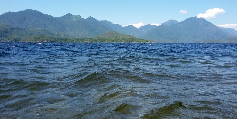
Adjacent to Clayoquot Sound, Kennedy Lake in the largest body of fresh water on Vancouver Island. The park includes two sites along the south shore of the lake, located on Hwy 4, 8 km east of the Pacific Rim Hwy/Hwy 4 junction. The closest communities are Ucluelet and Tofino. One access spot is directly off of …
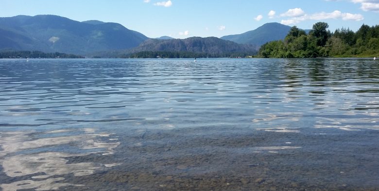
Located 15 minutes west of Port Alberni, Sproat Lake is a perfect spot for a swim and a walk. There are a numbr of short trails throughout the park with one leading to a panel of prehistoric petroglyphs. This lake gets busy in the summer with swimming, boating, waterskiing and fishing. It’s also the perfect …
Blue Trail – I can’t get enough of Maple Mountain. This is a mostly forested hike, with some traversing around rock ridges and some beautiful look out spots. The trail is very well blazed – every couple of metres either blue paint on rocks, or ties in the trees. New signage has been installed since …