
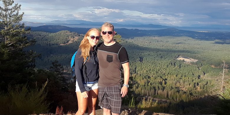
By Jimmy Hey let’s do this 45 min trail as a date and then have a drink afterward. Well, the trail certainly gets off to a good start. I’m getting tired fast. Dear God my cardio isn’t up to snuff. Must rest. Need water. Ok we’re out of the trees, the peak must be close …
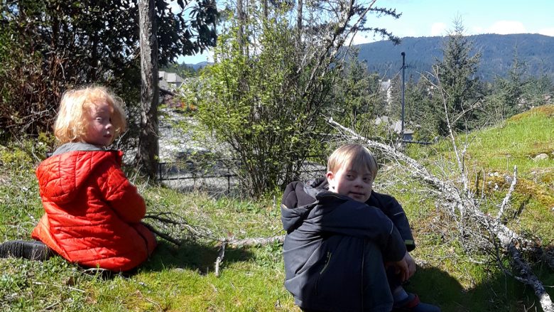
Guest Post: I saw this park on my geocaching map and drove along a winding road in the forest behind a new subdivision. The sign at the trailhead said “Unmaintained trail.” I walked down a slope and quickly came upon the search zone for the first geocache, which I couldn’t find. I continued along the …

Mt. Finlayson is located in Goldstream Provincial Park. This 2km trail to the summit has an elevation of 420m, making it quite steep. The trail starts in the forest on an old logging road. Ankles beware of the loose rocks and tree roots. The trail leads you out of the forest and onto exposed rock. …
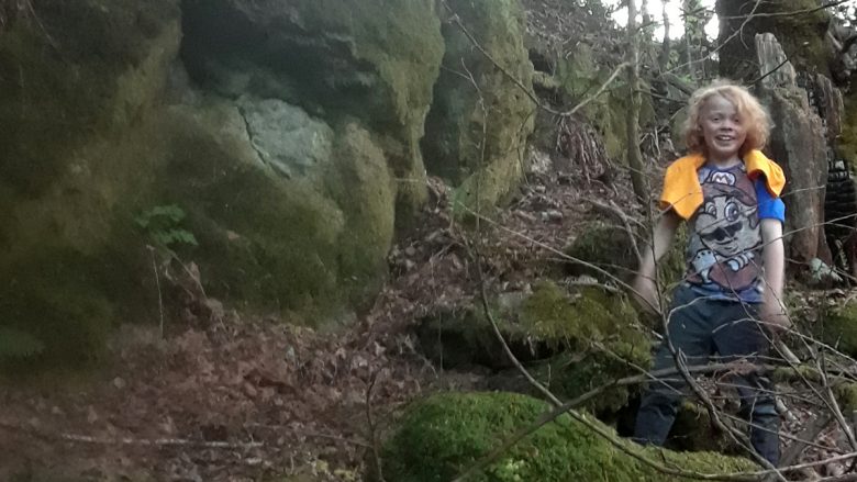
Guest Post: This was an old, now abandoned campground. I had discovered it a few years ago and brought Mason there today after his baseball game. It has overgrown openings where sites used to be, a boarded up camp office, lots of No Parking and No Swimming signs and a mossy, weedy camp road (that …
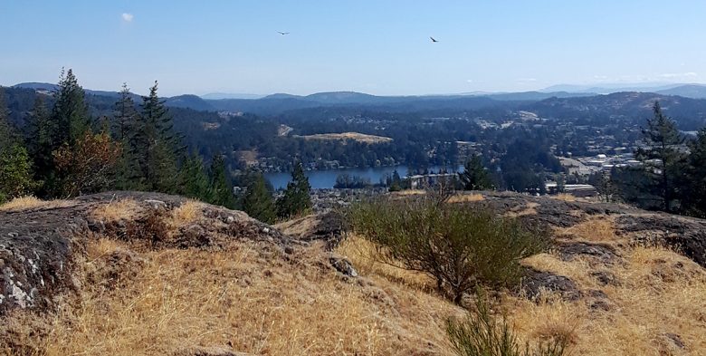
April 22, 2018 Guest Post: This is a short trail along a rocky ridge near the Bear Mountain golf resort. Lots of Arbutus trees and views of the golf course. Mason found a geocache as well. We rarely walk on flat surfaces. When moving along a ridge one way, the earth tilts downward to one …