


An easy rainy day walk, Ammonite Falls Regional Trail takes about an hour, there and back. The trail starts on a logging road. At the fork, veer right and you will see a blue Ammonite Falls trail marker. The trail is very well maintained and well marked, with posts at every fork and orange markers …
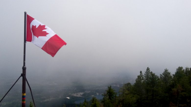
Majestic views like this make the climb worth it! But then….while I was on the summit, the clouds lifted, and I got some views! I couldn’t have timed it better. Elevation of Mount Benson: 1023m Starting Elevation at Witchcraft Lake: 300m It’s about 3 km to the top from Witchcraft Lake.


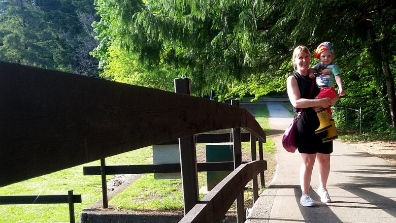
Max and I checked out Bowen Park. We saw ducks, totem poles, a pond, a river and a waterfall. Maxi loved sitting and watching the waterfall. He said it was “loud” and there was “soap” in the water (white water). At the beginning of the walk we came across a tree stump. Max asked me …

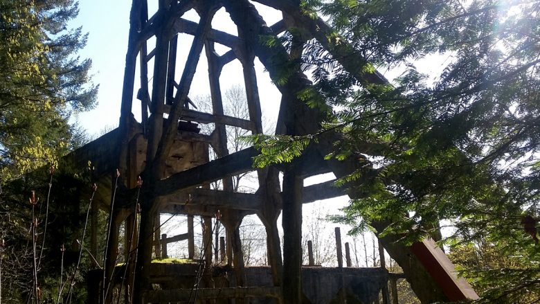
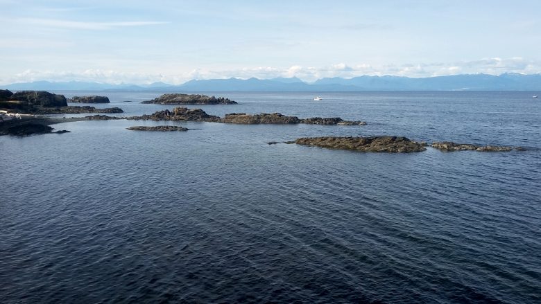
This is a 2-for-1 park: A bit of history and nature! This park contains the only remaining coal tipple on Vancouver Island. There is a very short trail loop around the structure with some informational signage about the mine site. There is also a flat 1km trail that ends at a beauiful view spot overlooking …