
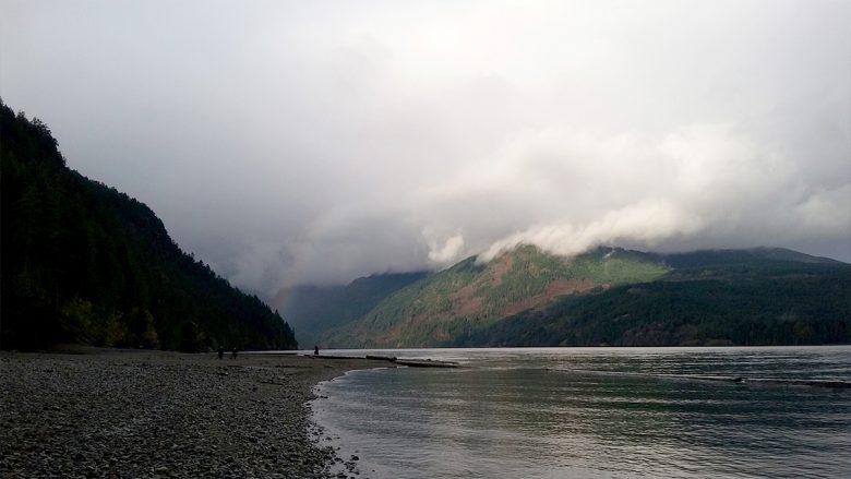
One of my favourite places on the Island, Cumberland is known for their community forest, world-class mountain biking, extensive trail network and huge glacier-fed lake. We drove up pretty early through dramatic Island weather; one minute pouring rain, next minute sunny. Cumberland Lake Park is a popular spot in the summer, full of campers and …
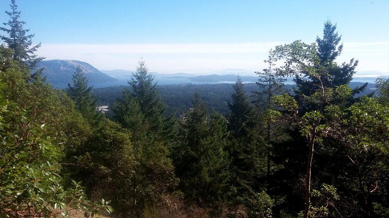
It’s great having meetings out of town when you end up close to a new mountain. I packed my boots, shorts and t-shirt and after the meeting drove to Cobble Hill Mountain. This is a gorgeous park with 26km worth of well-marked trails up the mountain, each represented by a different animal icon, rated easy, …
Witchcraft Lake Regional Trail crosses the lake, runs along the lake for short stretch, then up a steep trail up Mt Benson through City land, the Crown woodlot to Mount Benson Regional Park. This trail was developed to provide public access to Mount Benson Regional Park as there is no public road access. If climbing is not …
Guest Post – By Jim We pulled into the parking lot and there were three groups of rock climbers setting up. The trail started uphill quite quick, passing beautiful rock faces and cliffs. We got to the top relatively quickly and a bit breathlessly. Gorgeous views – unfortunately obscured by smoke. We could still make …
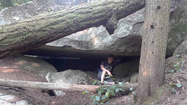
Guest Post by Jimmy This was a dangerous hike in which many experienced hikers have died! Exciting! We found the trailhead on an unpaved road near a bunch of “Grizzly Bear” signs that urged us not to shoot the beasts. The trail started off in the woods, then upwards on a steep cliff. We used …
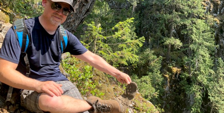
By Jimmy Hey let’s do this 45 min trail as a date and then have a drink afterward. Well, the trail certainly gets off to a good start. I’m getting tired fast. Dear God my cardio isn’t up to snuff. Must rest. Need water. Ok we’re out of the trees, the peak must be close …
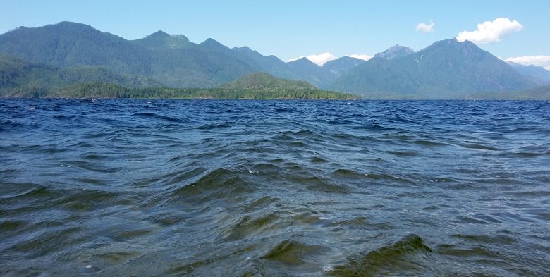
Adjacent to Clayoquot Sound, Kennedy Lake in the largest body of fresh water on Vancouver Island. The park includes two sites along the south shore of the lake, located on Hwy 4, 8 km east of the Pacific Rim Hwy/Hwy 4 junction. The closest communities are Ucluelet and Tofino. One access spot is directly off of …
Blue Trail – I can’t get enough of Maple Mountain. This is a mostly forested hike, with some traversing around rock ridges and some beautiful look out spots. The trail is very well blazed – every couple of metres either blue paint on rocks, or ties in the trees. New signage has been installed since …
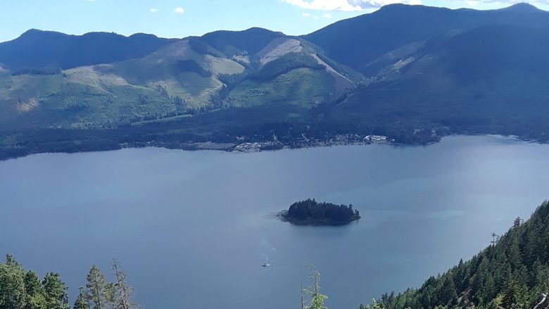
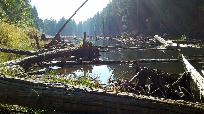
By Jimmy I parked in an empty parking lot and didn’t see another person on the entire hike. The trail started up a grassy and rocky slope, winding in gentle switch backs until reaching the summit trail, which was steeper and more majestic with views of both sides of Lake Cowichan. It was hot and …

Blue/Pink Trail loop (Summit Route) Park at the end of Maple Mountain Road and follow the blue trail markers under the powerlines. Veer left at the pink trail junction (marked in pink!) and climb up, up, up to the summit at 506m. This is a well-marked rough trail through the forest. From the summit, continue …