
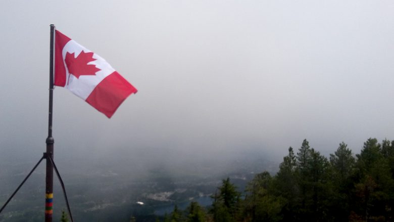
Guest Post – By Jim We pulled into the parking lot and there were three groups of rock climbers setting up. The trail started uphill quite quick, passing beautiful rock faces and cliffs. We got to the top relatively quickly and a bit breathlessly. Gorgeous views – unfortunately obscured by smoke. We could still make …
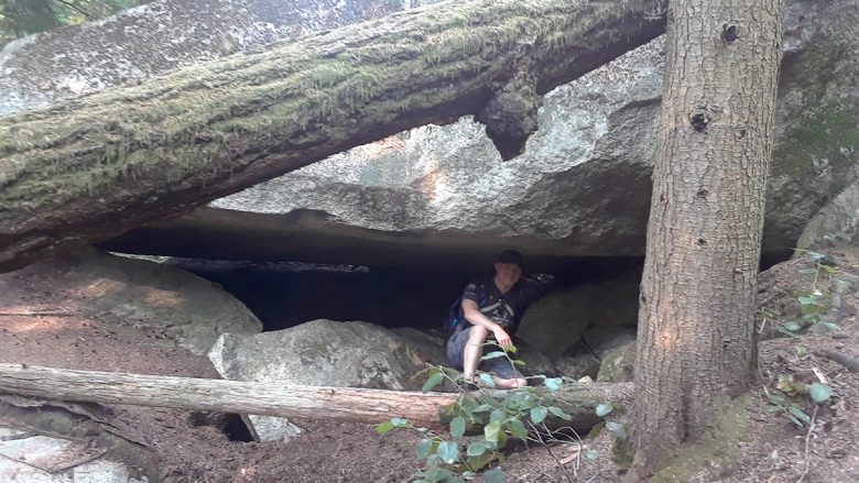
Guest Post by Jimmy This was a dangerous hike in which many experienced hikers have died! Exciting! We found the trailhead on an unpaved road near a bunch of “Grizzly Bear” signs that urged us not to shoot the beasts. The trail started off in the woods, then upwards on a steep cliff. We used …
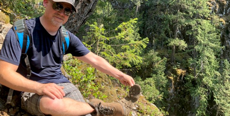
By Jimmy Hey let’s do this 45 min trail as a date and then have a drink afterward. Well, the trail certainly gets off to a good start. I’m getting tired fast. Dear God my cardio isn’t up to snuff. Must rest. Need water. Ok we’re out of the trees, the peak must be close …


Blue/Pink Trail loop (Summit Route) Park at the end of Maple Mountain Road and follow the blue trail markers under the powerlines. Veer left at the pink trail junction (marked in pink!) and climb up, up, up to the summit at 506m. This is a well-marked rough trail through the forest. From the summit, continue …
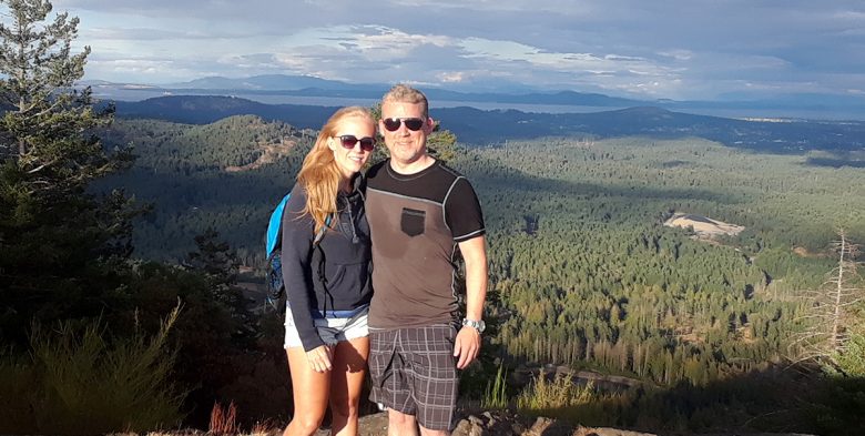
Majestic views like this make the climb worth it! But then….while I was on the summit, the clouds lifted, and I got some views! I couldn’t have timed it better. Elevation of Mount Benson: 1023m Starting Elevation at Witchcraft Lake: 300m It’s about 3 km to the top from Witchcraft Lake.