Guest Post:
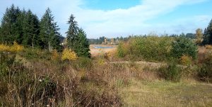
I saw this park on my geocaching map and drove along a winding road in the forest behind a new subdivision. The sign at the trailhead said “Unmaintained trail.” I walked down a slope and quickly came upon the search zone for the first geocache, which I couldn’t find.
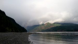
I continued along the trail beside a nice cliff of rock, that looked like a giant wall. Then the trail started to slope upward and break off into a bunch of unmarked branches. This is where I began to rely on my GPS. I took a few different branches and ended up back-tracking. There were different coloured ribbons tied to trees, but in no logical sequence.
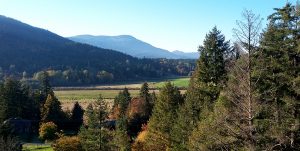
I came across the second geocache in a grove of stumps and fallen trees, at the base of a steep hill. I found this cache easily. Then I walked steeply up an exposed rock hill, pausing for a picture halfway and to find the next geocache quickly and easily. I sat on the rock and had a sip of water.
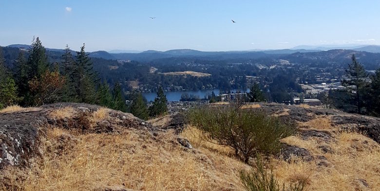
Then up again, through tree cover as I approached the final peak at 253 meters. At the top I immediately saw 6 hawks circling and hunting. From the ridge I could see Langford Lake to the Northeast and Mount Wells Regional park in all other directions (I think). The moss on the rocky ridge was crisp and dry, and the sun was beginning to bake the vegetation.
There was another cache in this area but I only half-heartedly looked, because the view was worth more of my time than searching in tree stumps and hiding places.
A much quicker walk back to the road, down hill and with the help of my GPS, which helped me from getting lost and turned around in the tangle of side trails.
by Jimmy