
A great park for a daydream and a stroll.
Month: May 2018

Blue/Pink Trail loop (Summit Route) Park at the end of Maple Mountain Road and follow the blue trail markers under the powerlines. Veer left at the pink trail junction (marked in pink!) and climb up, up, up to the summit at 506m. This is a well-marked rough trail through the forest. From the summit, continue …
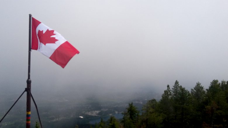
Majestic views like this make the climb worth it! But then….while I was on the summit, the clouds lifted, and I got some views! I couldn’t have timed it better. Elevation of Mount Benson: 1023m Starting Elevation at Witchcraft Lake: 300m It’s about 3 km to the top from Witchcraft Lake.
Cable Bay Trail is a 2km trail descending through the forest that ends at sandstone beach overlooking Gabriola Island. The official trail ends at the bridge, but you can pick up another trail that follows the shoreline along Stewart Channel.
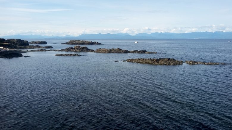
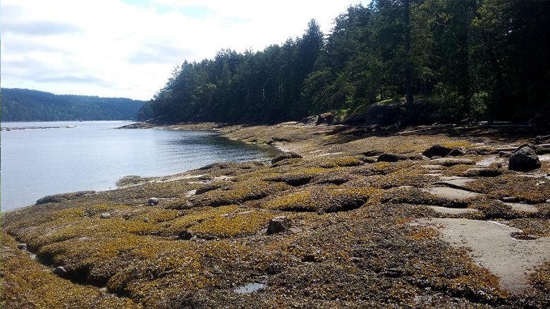
This is an easy 1km trail through the forest that ends at a beach. There are neat rocks to walk on. The BC Parks website says these are unique sandstone ledges. These ledges are part of the geological heritage of Vancouver Island and represent ancient sea beds. The ledges serve as a haul-out location for …

Mt. Finlayson is located in Goldstream Provincial Park. This 2km trail to the summit has an elevation of 420m, making it quite steep. The trail starts in the forest on an old logging road. Ankles beware of the loose rocks and tree roots. The trail leads you out of the forest and onto exposed rock. …

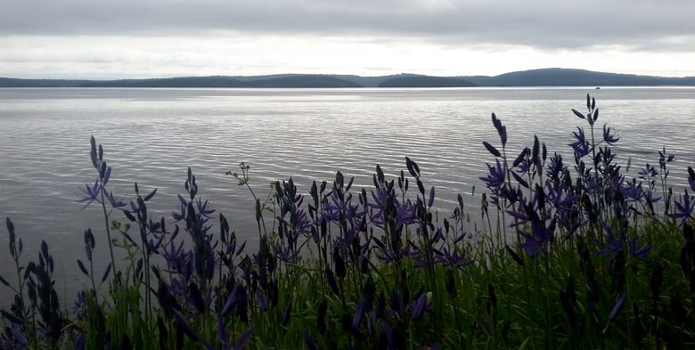
Enos Lake is in the centre Nanoose Peninsula. There are over 7km of trails through wetlands, rocky bluffs, arbutus trees and around the lake. Wildflowers are in full bloom. There is an endangered fish species in Enos Lake: the limnetic Enos Lake Stickleback. This is the only place where this specific stickleback pair is found. …